Infrared Aerial Photo
http://www.aerialarchives.com/Infrared-Aerial-Photography.htm
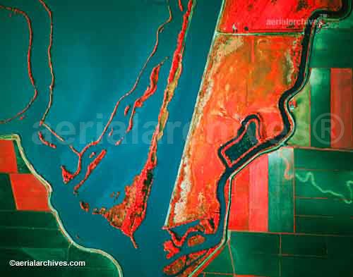
Infrared aerial photography can be used to document changes to the environment, the health of forests, wetlands, bays and oceans, etc. It can also be used to document and monitor such items as damage to roofs. This is a photo of Sacramento River Deep Water Ship Channel and Levees.
No comments:
Post a Comment